-
Email Address malik@malikgrouppakistan.com
-
-
Mobile Number +92-321-2329982


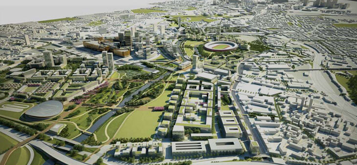
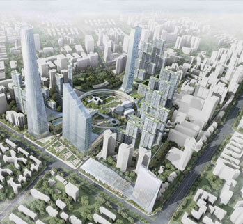
We develop land by using plans and programs that help create communities, accommodate population growth, and revitalize physical facilities in towns, cities, counties, and metropolitan areas.
As planners we identify community needs and develop short- and long-term solutions to improve and revitalize communities and areas. As an area grows or changes, planners help communities manage the related economic, social, and environmental issues, such as planning new parks, sheltering the homeless, and making the region more attractive to businesses.
When beginning a project, we often work with public officials, community members, and other groups to identify community issues and goals. Through research, data analysis, and collaboration with interest groups, we formulate strategies to address issues and to meet goals. We may also help carry out community plans by overseeing projects, enforcing zoning regulations, and organizing the work of the groups involved
We use a variety of tools and technology while performing work. We commonly use statistical software, data visualization and presentation programs, financial spreadsheets, and other database and software programs. Geographic Information System (GIS) software is used to integrate data, such as for population density, with digital maps.
As Planners we also emphasize on areas such as transportation planning, community development, historic preservation, or urban design, among other fields of interest.